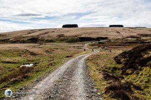
Spartleton Hill and The Herring Road Circular Route
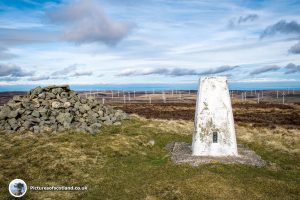
Spartleton Hill is one of the Lammermuir hills. This is a pleasant circular walk of just under 5 miles, with gentle gradients and not too much of a climb up to the summit at 468 m high.
The walk passes the remains of Gamelshiel Castle and then, after you descend from the summit, part of the return route follows the old Herring Road. The Herring Road was the route used by the fishwives to take the cured herring in baskets on their backs, from the coast over to the market in Lauder. A distance of 28 miles!
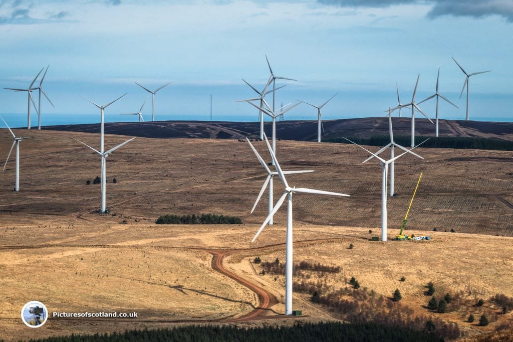
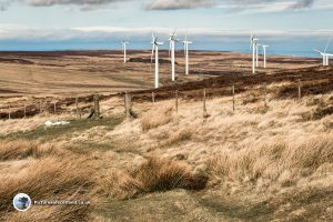
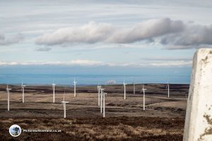
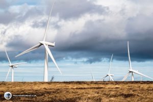
From the summit there are fine views over Crystal Rig wind farm - if you like to see rows of giant windmills that is!
See the map below for directions to the start point.
Time taken, 2 - 3 hours. I was nearer the three hours due to the number of photo stops for pictures of toads, skylarks, grouse, windmills etc.
Start Point
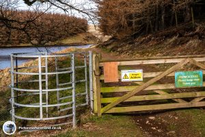
There is a small car park immediately on the left as the road crosses the Whiteadder Reservoir. Park there, and head through the gate with the warning about Adders.
See Here for Adder bite advice.
Part 1
Go through the gate, and follow the track until it splits - take the right hand path.
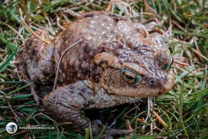
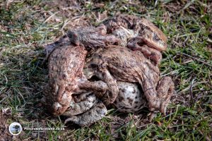
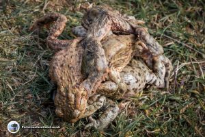
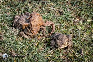
On the day I was there, this part of the route was absolutely covered in mating toads. There were so many that you had to watch each step so as not to spoil their fun.
I took a few pictures as it was such an amazing sight - which makes me a sort of toad voyeur.
Part 2
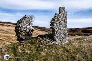
The track now passes the remains of Gamelshiel Castle, a tower house dating back to the early 16th century.
Follow the path round behind the castle and over the burn.
Part 3
The path now heads up the side of the hill. It is possible to take a direct route through the heather up to the summit - but having seen the snake warnings at the start of the walk, I decided to stay on the path.
Anyway I was busy trying to get some tricky bird shots.
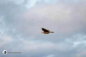
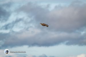
First there were lots of skylarks on the wing. They were no more than specks in the sky, so hard to photograph without a zoom lens, but I managed a couple of shots.
Second, this is a grouse moor, so every twenty yards or so, a grouse or pair of grouse would erupt from almost under my feet and head noisily off across the hillside.
This tactic of waiting until you are almost stepping on them before they take off is good for distracting predators - it is also very effective for scaring the life out of elderly photographers - I didn't get one usable shot!
Part 4
Follow the track until it passes through a gateway. The track now heads back to the right, and up to the summit.
You get your first views over the wind farm to the sea beyond.
Part 5 - The Summit
From the summit, you can see over to the Fife coast.
You can also just make out the Bass Rock in the distance
Part 6
Follow the track back down from the summit - remember to turn off to go back through the gateway.
Through the gateway, turn right and stay close to the fence. Don't take the track that heads off to the left.
Follow the fence line down to the pylons, turn right, then left onto the track that will take you to the Herring Road.
The windmills now start to disappear from view as you descend.
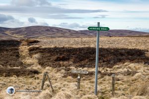
Part 7 - The Herring Road
At the sign saying "Herring Road", turn left and follow the road down the hill.
Just before the road goes through a gate, turn left and follow the grassy track back to the car park.
You May Also Like
Loch Ederline
14 February 2018
Edinburgh Castle
12 February 2018