Scald Law and Carnethy Hill, The Pentlands
Scald Law and Carnethy Hill, The Pentlands
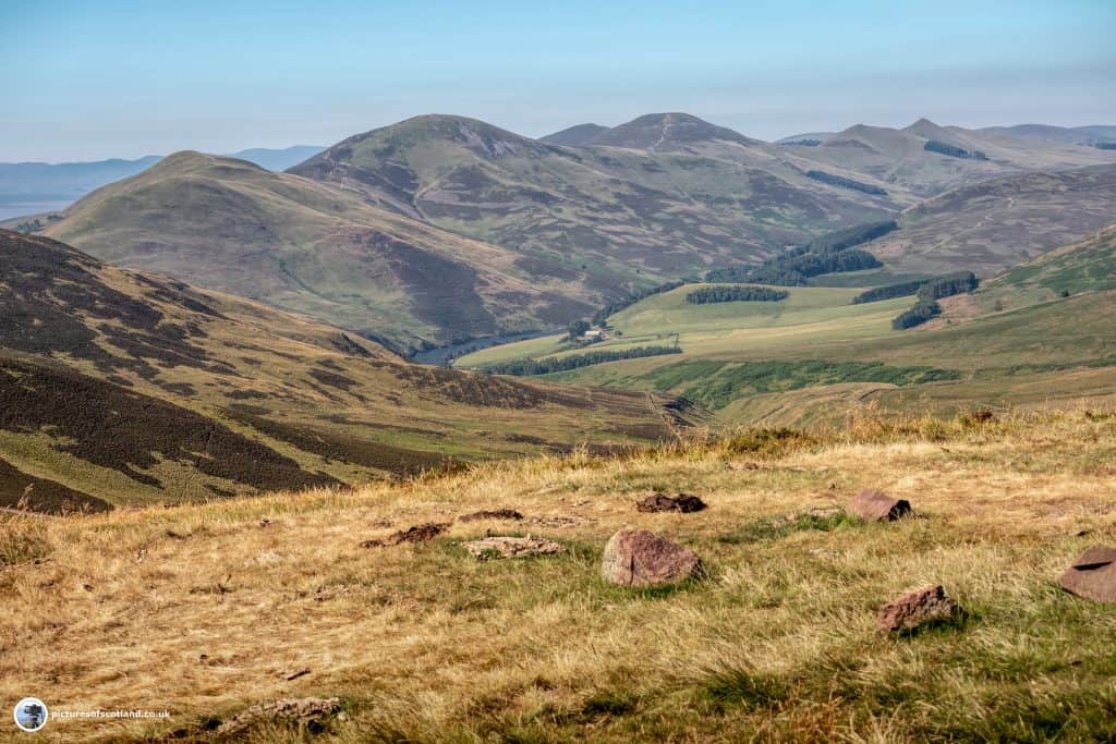
The Pentland Hills lie just to the south of Edinburgh, and the highest hill at 609m is Scald Law.
This is a circular route, and also takes in Turnhouse Hill (506m) and Carnethy Hill (573m).
After climbing the hills, you descend down to the end of Loganlea reservoir, and then back to the car park via the quiet tarmac road that runs alongside Loganlea and Glencorse reservoirs.
In all, a distance of about 8 miles, and should take around 5 hours.
The walk has great views - which you won't see in this report due to the thick blanket of fog! Better pictures next time!
Scald Law Part 1
The walk begins at the Flotterstone Ranger centre just off the A702 - there is an ample car park here.
See the map above.
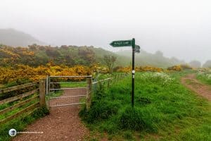
Follow the path to the left of the Ranger Centre. It takes you through some trees, then onto the road - go through the gate signposted for Scald Law.
Scald Law Part 2
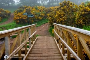
Continue on this track and when you cross over the wooden bridge head to the right.
The route is well signposted.
The track soon starts climbing fairly steeply.
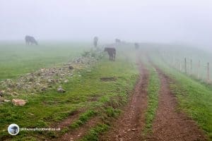
In the Pentland hill walks, you will often encounter cattle. I'm always a bit wary of cattle with calves, especially when they loom up unexpectedly out of the mist. However, these seemed used to walkers and paid me little heed.
Scald Law Part 3
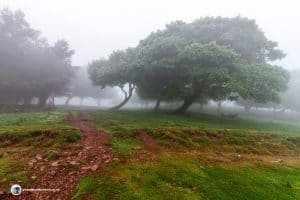
Follow the path up to a group of trees, and then through the trees there is a steep climb to the summit of the first hill, Turnhouse Hill.
There should be good views from here, but I could only see fog!
From the summit of Turnhouse hill, head, first down, then up to the summit of Carnethy hill, which is the second highest hill in the Pentlands.
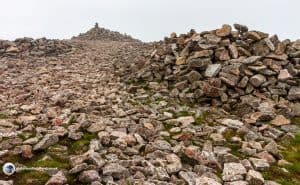
At the top of Carnethy hill is an enormous cairn.
Scald Law Part 4
Now you will drop down, before the final push to the summit of Scald Law.
Before you start the final climb, you will see a track crossing from left to right - the right hand track will be the one you take when you come back from the summit.
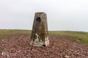
At the summit, again there should be wonderful views, but in my case, the fog was if anything even thicker!
Head back down the way you came, and take the path (now on your left) which heads back down to the tarmac road.
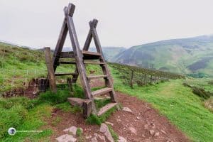
When you come to a large stile, cross over and continue down the hill.
Scald Law Part 5
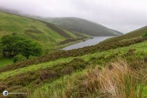
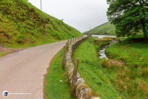
Now you should be able to see down the valley - and in fact the fog did lift enough that I could now see Loganlea reservoir.
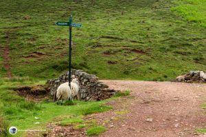
At the bottom of the hill, there is a sign post (with a sheep scratching itself on it)
Follow the sign for Flotterstone
Now just follow the road back to Flotterstone.
Warning: Loganlea is a popular trout fishery. Anglers can fish all along the road shore, and their back cast may well extend back over the road. If you see an angler casting, best to wait until he has finished before walking behind him or her.
You May Also Like

Scottish Seals
14 February 2024
Stornoway Harbour
7 February 2018
One Comment
Pingback: